Meet the conservationist: Anne-Isabelle Bonifassi
23 July, 2026
Meet the conservationist: Anne-Isabelle Bonifassi
23 July, 2026
Tuesday 22 august 2017
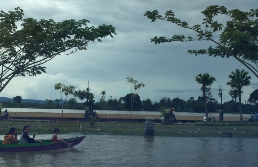
Header photo: Flood in Bulungan, Indonesia- © Sawit Watch
The vegetation in the Kayan river basin has a buffering capacity to retain and gradually discharge rainwater to downstream areas. This way, it protects the local population against floods. However, the conversion of upstream forest lands for the expansion of palm oil plantations has been degrading the natural capacity to retain water. Due to the disappearance of this green infrastructure, coupled with the effects of climate change, the flood events the area faces are getting more intense and occur with a higher frequency. ‘’The people in the urbanized, downstream delta area are most affected by these floods,’’ says Evelien van den Broek, Senior Expert Environmental Justice at IUCN NL. ‘’Their homes and working areas get inundated and agricultural yields are being lost.’’
For years, Indonesian partner organization Sawit Watch has been committed to protecting the ecosystems that safeguard sufficient water, food and climate resilience for human wellbeing. ‘’There is an increasing urgency to secure this green infrastructure,’’ says Riza Harizajudin, Head of Social Department at Sawit Watch. “Just last month, there was a major flood event in the Kayan delta area. About 7000 inhabitants had to be evacuated and local governments needed to provide basic relief assistance in many villages.’’
The local government acknowledges that the impact on human wellbeing from natural disasters exacerbates with the degradation of biodiverse ecosystems. Therefore, they are teaming up with IUCN NL partner organizations Sawit Watch, Walhi and Padi to safeguard forests and biodiversity in the Kayan river basin. This requires studious spatial planning of the area that includes a sustainable balance between nature, farmlands and living areas.
To facilitate this process, with the support of IUCN NL, Sawit Watch acquired a drone to map land use in the Kayan river basin. ‘’These unmanned aerial vehicles provide our partner organizations the capacity to make aerial pictures that provides input for the making of a GIS-based land use map. Using this map as a land use baseline, developments in land use – such as deforestation or the loss of living areas – can be systematically monitored and documented,’’ says Maxime Eiselin, Expert Innovative Monitoring at IUCN NL. ‘’The local government can use this information to set up a more sustainable spatial planning in which sufficient natural areas are secured to deliver water regulating services and protect the people against extreme weather events.”

23 July, 2026
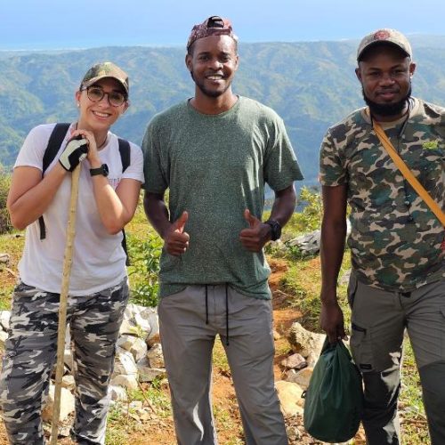
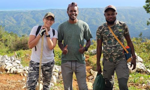
Growing up surrounded by animals, Anne-Isabelle Bonifassi always dreamed of a career in conservation. Today, as Executive Director of Haiti…
23 July, 2026
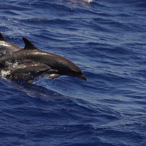
How the Caribbean Cetacean Society, with the support of BESTLIFE2030, aims to translate scientific knowledge into policy, and why this…